
Tropics
Below are loops of tropical systems in the Atlantic. On the left side is the rainbow satellite, on the right side is the water vapor, and the larger one on the bottom is the visible satellite (which becomes infrared when the sun sets). Click on any of them to make them larger. You can also find other maps pertaining to each system below, including spaghetti plots. Finally, general tropical maps and information can be found below the storms.
Invest 92L


Invest 93L


Invest 94L
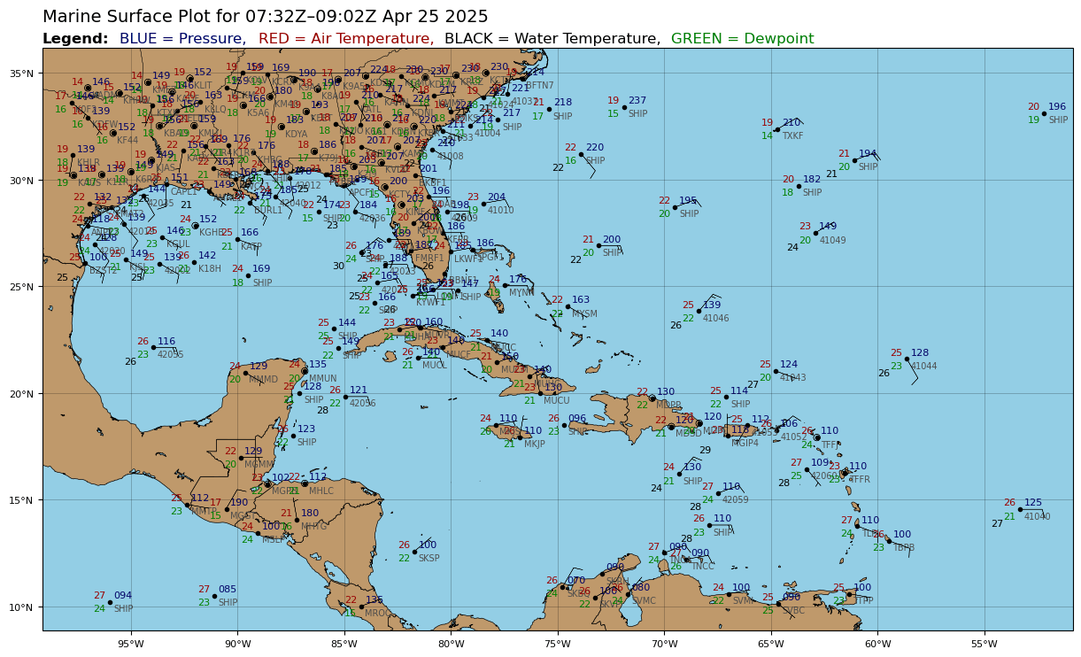
Surface Observations
The above image is fully credited to Levi Cowan at Tropical Tidbits. Visit his website at tropicaltidbits.com

