
2012-13 Winter Outlook
Official Winter Outlook:
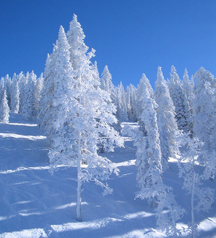
The 2012-13 winter will be snowy for the northeastern United States. With a neutral ENSO (El Nino Southern Oscillation), the subtropical jet-stream will be active. Waves of low pressure that form near this jet-stream will combine with the polar jet-stream in the Gulf of Mexico or the Atlantic Ocean to form sizable snowstorms. Snow events will occur majorly in late December to early January, and late January through February. A few major snowstorms of 4-8 inches, and 1 or more hazardous storms of 8 or more inches will make up most of the northeastern United States snowfall. Parts of the coastal northeast will receive nor'easter snow from a storm "bombing out" along the coast. This means the pressure decreases, and the storm deepens, therefore creating a stronger storm and yeilding more snow. These storms have the possibility to drop more than a foot of snow. Alberta clippers will be coming through the area often, with arctic air and small amounts of snow.
Especially in late January and February, the polar jet-stream and subtropical jet-stream will flow very close to one another, therefore, the storms have a better chance of phasing together to create major storms.
A very important factor in determining where storms deepen off the east coast is the Atlantic Ocean water temperatures. The water temperatures off the Carolinas-where most nor'easters deepen and strengthen, are below average. The temperatures off New Jersey, Delaware, and New York are above normal. This contributes to the likelihood of storms stalling, and feeding on the warm water of the oceans, which in turn creates more snow for the east coast. Normally with a nor'easter, if the temperatures are cold enough, the focus is closer to the coast, not western Pennsylvania, upstate New York, or western New England.
The coldest months will be January and February, and the snowiest period will most likely be late January through February. Precipitation will be above average, and temperatures below average. A slight warming event will occur in mid January, but after the twentieth, it becomes cold again.
The NAO will be back-and-forth this winter, but more negative than positive. The SOI will be predominantly neutral. Most of the 'oscillations' are teleconnections. If these teleconnections continue to be forecasted the way they were previously mentioned, the northeast and east coast will have far above average snowfall as expected.
